Europe's Copernicus Browser Revolutionizes Wildfire Tracking with Enhanced Visualization
Europe's Copernicus Browser has significantly enhanced its wildfire visualization capabilities, integrating real-time and historical data that now offers unprecedented clarity for tracking active blazes across the continent.
✨ This content was summarized and interpreted by AI; it may contain errors — please verify accuracy with the original sources. Learn more
Listen to this story
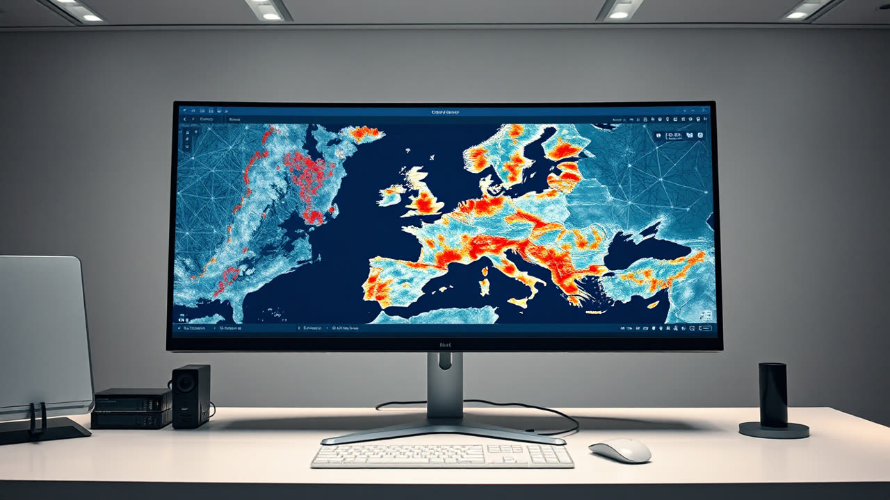
Europe's Copernicus Browser has significantly enhanced its wildfire visualization capabilities, integrating real-time and historical data that now offers unprecedented clarity for tracking active blazes across the continent, a critical advancement amidst a record-setting 2026 wildfire season. This update, rolled out in early August, leverages the vast data streams from the Sentinel satellite constellation, making it easier for emergency services, policymakers, and the public to monitor fire progression, assess damage, and strategize response efforts. The new features include interactive maps displaying active fire fronts, burn scar mapping, and the ability to overlay atmospheric data, such as smoke plumes and aerosol concentrations, providing a multi-layered perspective on fire events. This granular detail, available through a freely accessible platform, democratizes critical environmental intelligence, moving beyond mere detection to comprehensive situational awareness.
The significance of this enhancement extends far beyond a simple map overlay; it represents a pivotal shift in disaster response and environmental monitoring. For firefighters on the ground, the immediate access to high-resolution, frequently updated satellite imagery can mean the difference between containing a fire and watching it spread uncontrollably. Incident commanders can now gain a near real-time understanding of fire behavior, identifying hotspots, predicting spread trajectories based on wind patterns, and allocating resources more efficiently. This is particularly vital in remote or inaccessible areas where ground-level reconnaissance is challenging or dangerous. For policymakers and urban planners, the ability to quickly visualize burn scars and historical fire patterns aids in long-term land management strategies, reforestation planning, and the implementation of preventative measures, such as creating firebreaks or adjusting building codes in high-risk zones. The economic impact of wildfires, often measured in billions of euros annually through property damage, agricultural losses, and health costs, stands to be mitigated through more informed and timely interventions.
The Copernicus program, managed by the European Commission in partnership with the European Space Agency (ESA), has long been a cornerstone of global Earth observation, offering a free, full, and open data policy that distinguishes it from many commercial satellite data providers. Its Sentinel satellites — a series of missions each focused on specific aspects of Earth monitoring, from land and ocean to atmosphere — provide a continuous stream of environmental data. Specifically, Sentinel-2 offers high-resolution optical imagery, crucial for burn scar mapping, while Sentinel-3 contributes to thermal anomaly detection and aerosol monitoring, vital for active fire tracking. The integration of these diverse data sets into a user-friendly browser interface significantly lowers the barrier to entry for utilizing complex satellite information. While services like NASA's FIRMS (Fire Information for Resource Management System) have provided global wildfire data for years, often relying on MODIS and VIIRS instruments, Copernicus's latest update enhances resolution and European-specific detail, offering a complementary, and in some cases, more localized and higher-frequency data stream relevant for European stakeholders. The program's commitment to open access ensures that even smaller municipalities or research institutions without substantial budgets can leverage state-of-the-art satellite intelligence.
Looking ahead, the evolution of wildfire tracking within Copernicus will likely focus on even greater automation, predictive modeling, and integration with ground-based sensor networks. The next generation of Sentinel satellites, along with advances in artificial intelligence and machine learning, promises to refine fire detection algorithms, reduce false positives, and provide more accurate predictions of fire intensity and spread rates. We can anticipate the development of sophisticated early warning systems that combine satellite data with meteorological forecasts, fuel moisture models, and historical fire ignition points to identify high-risk areas before fires even start. Furthermore, the increasing demand for climate change adaptation tools will drive the integration of wildfire data with broader climate models, allowing for a more holistic understanding of environmental risks and the development of resilient landscapes. The open-source nature of Copernicus data also fosters innovation within the private sector, encouraging the development of value-added services and applications that can further tailor this critical information to specific user needs, ultimately strengthening Europe's collective ability to confront the growing threat of wildfires in a warming world.