Google-Backed FireSat Satellites Launch, Promising Wildfire Detection Paradigm Shift
A new constellation of Google-backed FireSat microsatellites has launched, offering unprecedented early wildfire detection capabilities to combat escalating global blazes.
✨ This content was summarized and interpreted by AI; it may contain errors — please verify accuracy with the original sources. Learn more
Listen to this story
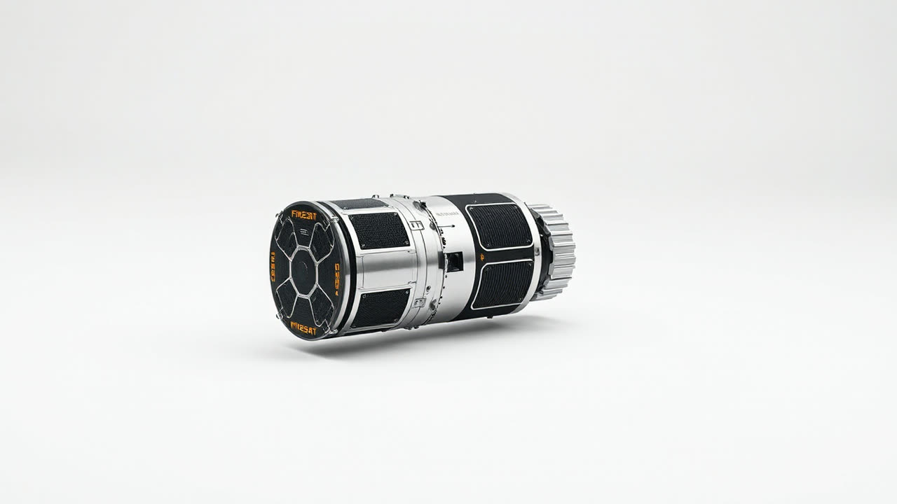
A new constellation of Google-backed FireSat satellites, launched in early July 2026, promises a paradigm shift in wildfire detection, boasting the ability to identify nascent blazes hours, and in some cases, days before existing satellite networks. This critical deployment arrives as unprecedented smoke plumes from escalating wildfires continue to choke vast swathes of the United States and Canada, underscoring an urgent global need for more effective early warning systems. The initial tranche of six FireSat microsatellites, developed in partnership with the aerospace startup Orbital Insights, integrates novel thermal imaging sensors capable of detecting heat signatures as small as 0.25 square meters, a significant leap from the 10-square-meter minimum often required by current government-operated systems. This enhanced sensitivity, coupled with a targeted orbital pattern providing revisit times as frequent as every 15 minutes over high-risk zones, aims to dramatically reduce response times for ground crews.
The profound impact of this granular detection capability extends far beyond mere efficiency; it is a critical intervention in a world grappling with increasingly severe and frequent wildfire seasons. For users, particularly communities in the wildland-urban interface and agricultural regions, earlier detection means precious additional hours for evacuation, property protection, and livestock relocation, potentially saving lives and billions in damages. The economic implications for industries like timber, agriculture, and insurance are equally substantial, shifting from reactive disaster response to proactive risk mitigation. Early containment efforts, facilitated by FireSat's precision data, can prevent minor ignitions from escalating into megafires that devastate ecosystems and infrastructure, thereby reducing long-term rehabilitation costs and carbon emissions. Furthermore, the integration of Google's AI and machine learning algorithms on the ground processes the satellite data, differentiating genuine heat anomalies from industrial activity or solar reflections with an accuracy reportedly exceeding 98%. This intelligent filtering minimizes false positives, a persistent challenge for previous detection systems, ensuring that resources are dispatched only when genuinely needed.
Historically, wildfire detection has relied on a patchwork of ground-based lookout towers, aerial patrols, and larger, less frequently orbiting government satellites such as NOAA's GOES series or NASA's MODIS and VIIRS instruments. While these systems provide broad coverage, their resolution and revisit rates often mean that fires are only detected hours after ignition, by which point they can already be rapidly spreading, particularly in dry, windy conditions. European counterparts, like the Copernicus Sentinel missions, offer valuable data but face similar limitations in very early-stage detection. FireSat's distinct advantage lies in its specialized focus and proprietary sensor technology, which operates across specific infrared spectra optimized for detecting subtle heat plumes through smoke and canopy cover that might obscure visible light detection. Unlike multi-purpose Earth observation satellites, FireSat is purpose-built for this singular mission, allowing for a streamlined data pipeline and rapid alerts directly to fire management agencies. This targeted approach contrasts sharply with rival private ventures like Planet Labs, which offer high-resolution optical imagery, but are not primarily optimized for the real-time thermal detection of nascent fires.
Looking ahead, the successful deployment and operational validation of FireSat's initial constellation are merely the first step. Plans are already underway to expand the network to a full complement of 24 satellites by late 2027, promising near-global coverage with sub-10-minute revisit times over critical areas. This expansion could pave the way for real-time fire progression modeling, allowing incident commanders to predict a fire's path and intensity with unprecedented accuracy, optimizing resource allocation and evacuation orders. Further integration with drone technology for ground-level verification and AI-driven predictive analytics, which factor in weather patterns, fuel loads, and topography, could create a holistic wildfire management ecosystem. The challenges, however, remain significant; maintaining a satellite constellation requires substantial ongoing investment, and ensuring seamless data integration with disparate emergency services across different jurisdictions will be a complex logistical undertaking. Yet, as the climate crisis intensifies and wildfire seasons grow longer and more destructive, FireSat represents not just a technological advancement, but a crucial lifeline in the escalating battle against nature's most unpredictable and devastating force.