Google Maps' Advanced Busyness Prediction Transforms Urban Navigation
Google Maps leverages anonymized location data and machine learning to offer real-time and predictive crowd intelligence, fundamentally changing how users navigate public spaces and businesses optimize operations.
✨ This content was summarized and interpreted by AI; it may contain errors — please verify accuracy with the original sources. Learn more
Listen to this story
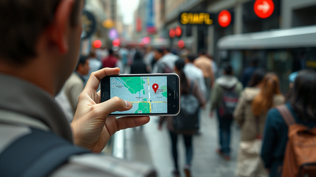
Google Maps' ability to predict and display a business's current and future busyness, a feature initially rolled out as "Popular Times" in 2015, transcends simple guesswork, relying on an intricate aggregation of anonymized location data from users who have opted into Location History. This sophisticated system processes billions of data points to generate real-time busyness estimates and historical trends, providing users with an unprecedented level of insight into crowd levels at venues ranging from restaurants and retail stores to parks and public transport hubs. The core mechanism involves analyzing patterns of movement and dwell times of aggregated, anonymized smartphone data, allowing Google to discern typical peak hours and even predict immediate crowd levels, a capability enhanced by machine learning algorithms that adapt to daily, weekly, and seasonal variations. More recently, Google has refined this with "Live Busyness," offering real-time updates on how busy a place is *right now*, and even expanded to include live information on public transport busyness, like how full a train or bus might be.
This granular insight profoundly impacts user decision-making, transforming how individuals interact with their local environment and beyond. For users, it means optimizing their time, avoiding frustrating queues, and making more informed choices about where to go and when. A family planning a dinner outing can check if their preferred restaurant is currently overwhelmed, or a shopper can time their visit to a grocery store to avoid peak crowds, enhancing convenience and reducing stress. Beyond mere convenience, this feature fosters a sense of control and predictability in an increasingly dynamic urban landscape, allowing individuals to navigate public spaces more efficiently and comfortably. The integration of live busyness data into public transit routes, for instance, empowers commuters to choose less crowded options, potentially improving their travel experience and even contributing to better social distancing practices, particularly relevant in post-pandemic considerations.
The industry-wide implications are equally significant, offering businesses a powerful, albeit indirect, tool for operational optimization and customer engagement. While Google does not directly share raw busyness data with businesses, the public availability of Popular Times and Live Busyness influences customer flow. Businesses can infer peak and off-peak periods, potentially adjusting staffing levels, promotional offers, or even inventory management to align with anticipated customer traffic. For instance, a coffee shop might strategically schedule more baristas during projected busy morning rushes or offer happy hour discounts during historically slower afternoon periods to encourage foot traffic. This data also creates a subtle competitive pressure, as venues known for consistently long waits might see customers diverted to less crowded alternatives, pushing businesses to improve efficiency or offer better experiences to retain patronage. The feature essentially democratizes access to crowd intelligence, leveling the playing field for smaller businesses that might not have the resources for sophisticated foot traffic analytics.
Compared to earlier iterations or rival services, Google Maps' busyness prediction stands out for its breadth and depth of data. While services like Yelp or Apple Maps offer user-generated reviews and sometimes indicate peak times based on anecdotal evidence or check-ins, they generally lack the real-time, aggregated location data scale that Google commands. Google's ubiquitous presence on Android devices and widespread use on iOS means it captures an unparalleled volume of anonymized movement patterns, allowing for more robust and accurate predictions. The continuous refinement through machine learning ensures that the predictions improve over time, adapting to new trends and unforeseen events, a capability that simpler, rule-based systems struggle to match. The evolution from static "Popular Times" to dynamic "Live Busyness" and public transit occupancy represents a significant leap, offering immediate, actionable intelligence rather than just historical averages.
Looking ahead, the trajectory of Google Maps' busyness intelligence points towards even greater granularity and proactive utility. We can anticipate the integration of more contextual factors, such as local events, weather patterns, or even social media sentiment, to further refine predictions, potentially offering hyper-localized crowd forecasts for specific sections of a park or particular aisles within a large supermarket. The application of generative AI could also enable Google Maps to offer personalized recommendations based on a user's preference for crowd levels, suggesting "quiet cafes" or "lively bars" depending on their stated mood or past behavior. Furthermore, as autonomous vehicles and smart city initiatives proliferate, real-time crowd data could become a critical component for dynamic traffic management, optimizing routes for delivery services, or even informing urban planning decisions to alleviate congestion hotspots. The ongoing challenge will be to balance this powerful data collection with robust privacy safeguards, continually reassuring users about the anonymization and aggregation processes that underpin these increasingly intelligent features.